City_0_NewYork Scenario

DeepMIMO-City Scenario 0

  • An outdoor scenario constructed based on a section of NewYork
  • GPS bounding box (40.6850329, -73.8468212, 40.68597435, -73.84336302)
  • 3 base stations and 5,148 users are available!
  • Dataset is available at operating frequency 3.5 GHz

Key components

  • 3 base stations (BSs): BS1. The height of all BSs is 6 m.
  • Each antenna array element at the BS is modeled as an isotropic antenna
  • One uniform x-y user grids (UGs)
  • Total number of users = 5,148 users
  • The first user in the user grid is always the user with the lowest (x,y) coordinate
  • The height of all user grids is 2 m
  • Each antenna array element at each user is an isotropic antenna
  • User grid
    • Uniformly distributed in the area
    • Accessed from Row 1 to Row 44
    • 117 users per row
    • 2.5 m spacing between adjacent users
    • Total number of users = 5,148 users
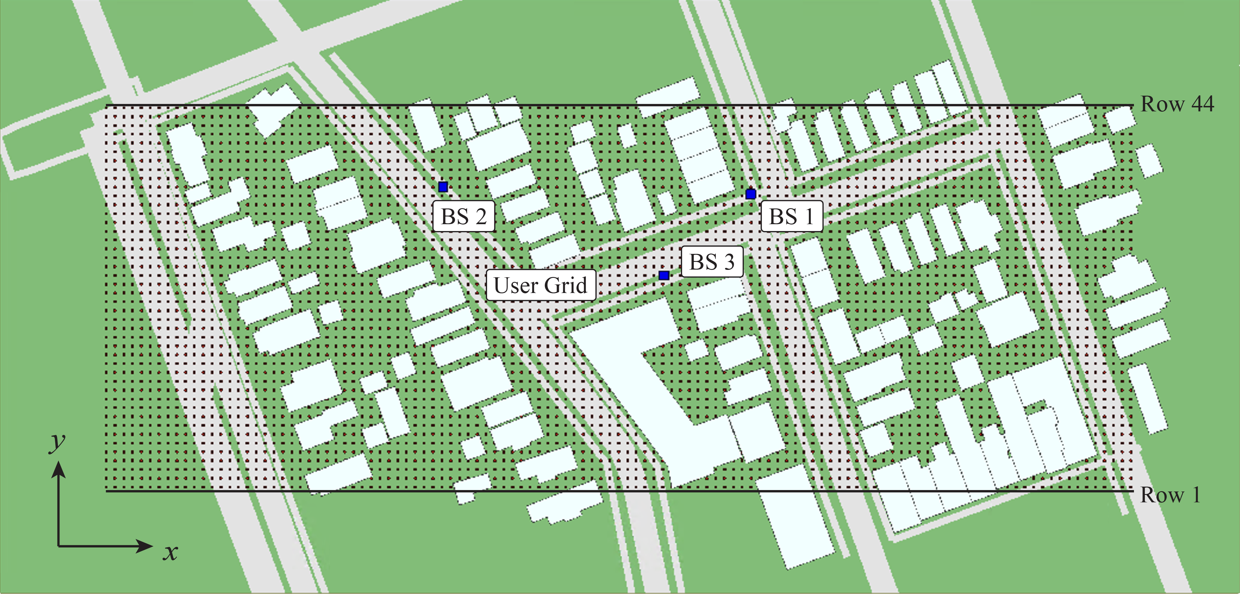
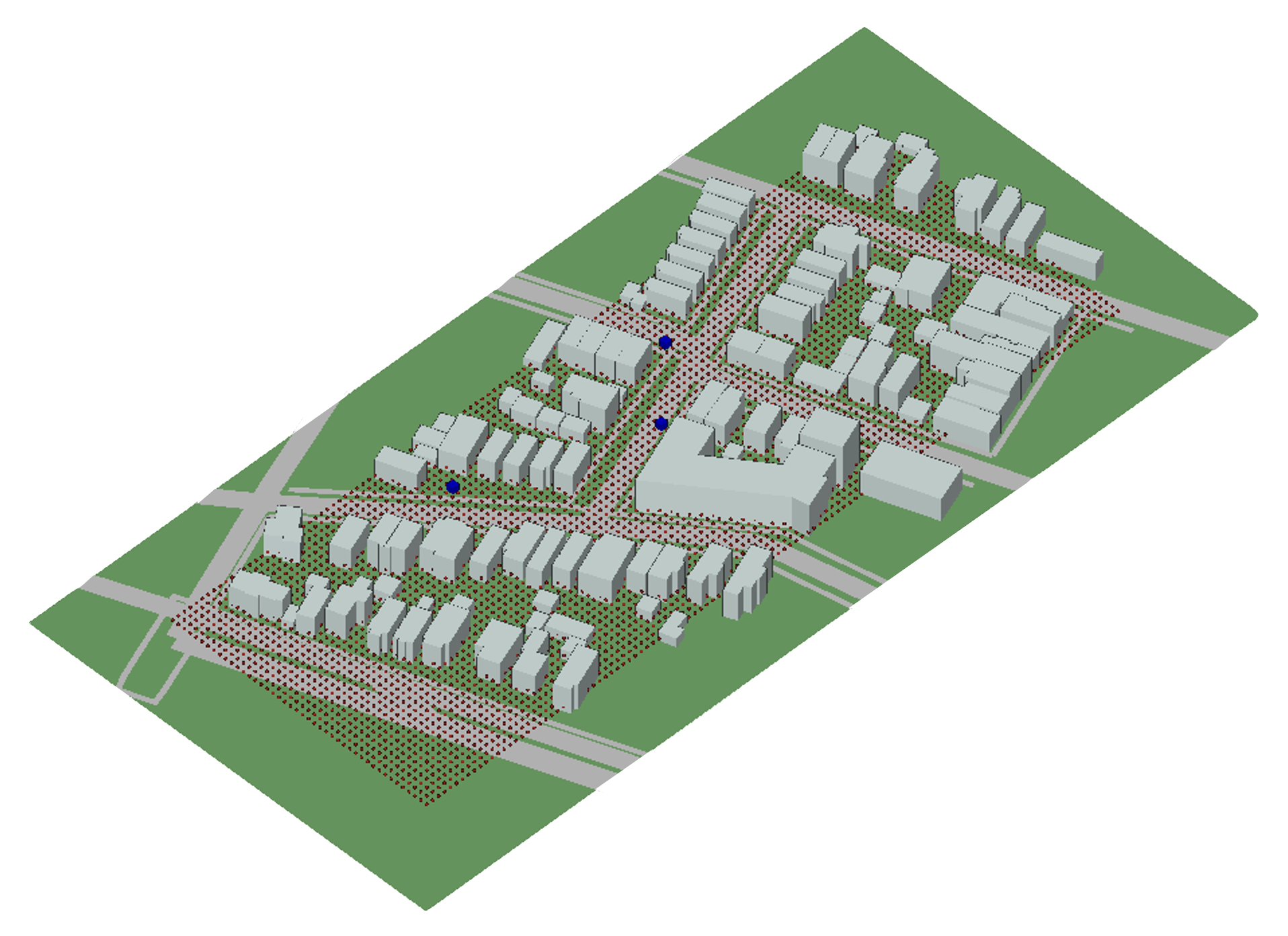
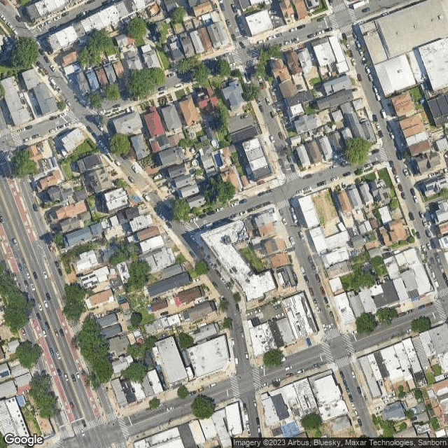
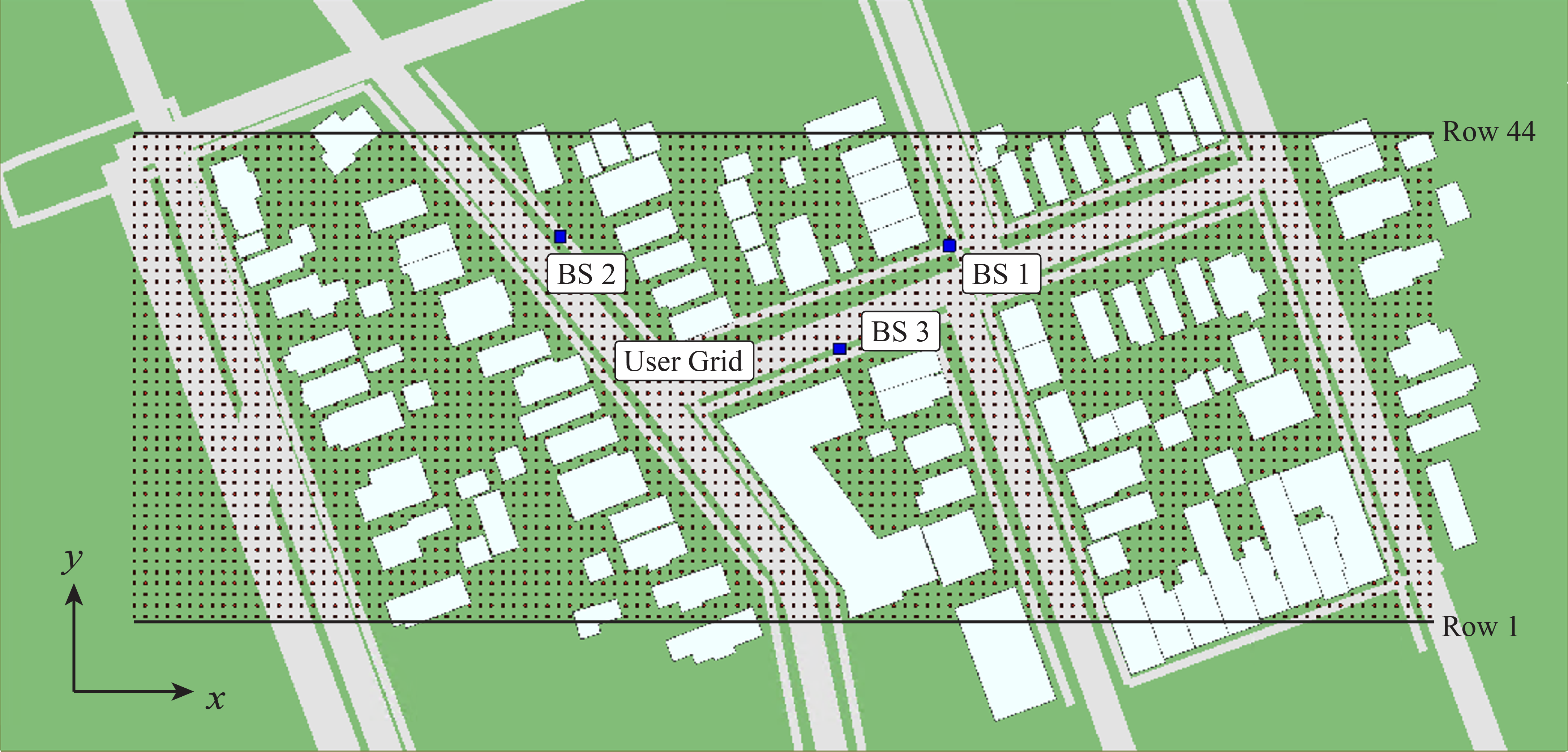
  • The site is constructed base on a section of NewYork
  • The ITU concrete, ITU wet earth, and asphalt are adopted as materials for the buildings, the terrain, and the streets, respectively
  • The ray-tracing angle spacing is 0.25° (degree)
  • As for the propagation model, each channel path can undergo a maximum of 3 reflections before reaching the receiverNew Y

Note

The maximum number of reflections along each propagation path is set to 3 in the ray tracing simulation.
Under this configuration, some users in the scenario do not have any propagation path with the base station.
bs1


Figure 4. LoS/NLoS/NoPath users of BS1

bs2

Figure 5. LoS/NLoS/NoPath users of BS2

bs3

Figure 6. LoS/NLoS/NoPath users of BS3

Download the ray-tracing data files of the City_0_NewYork Scenario

Applications of the Boston5G scenario